Strengthening capacities in the use of geospatial information for improved resilience in Asia-Pacific and Africa
Strengthening capacities in the use of geospatial information for improved resilience in Asia-Pacific and Africa
In July 2021, UNOSAT and the Norwegian Agency for Development Cooperation (NORAD) signed a new cooperation framework to sustain and expand their longstanding efforts to strengthen capacities in the use of geospatial information technologies for improved resilience in the Asia-Pacific and Africa.
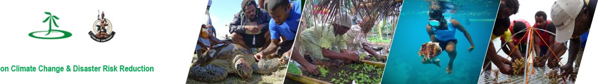
This 3 year-long project builds on previous experiences and aims to further enhance capacities by leveraging technological advances and innovation and providing integrated geospatial solutions for improved decision making in the fields of Disaster Risk Reduction, Climate Resilience, Environmental Preservation & Food Security in the eight target countries: Vanuatu, Fiji, Solomon Islands, Bangladesh, Bhutan, Lao PDR, Nigeria, and Uganda.
An innovative user-centred capacity development approach will be applied for the implementation of this project, and it is comprised of:
• Technical Training: Through the implementation of this project in each target country, UNOSAT will offer a total of three technical trainings custom-tailored to the country’s needs, with focus on climate finance, geospatial information technology, and disaster risk management. The courses will be delivered to both executive managers and technical staff, through three main approaches: face-to-face, blended learning, and e-learning solutions.
• Knowledge Platform & Community of Practice: The project team will also implement a central Knowledge Platform for the project, this will serve as an integrated learning environment for all distance-learning solutions and the main meeting point of UNOSAT’s community of practice, all aiming at sustaining the project outcomes and increasing its impact. The knowledge platform will also facilitate cross country knowledge and expertise sharing for tackling common challenges.
• Access to Climate Finance: There is a strong need for Pacific SIDS to finance their climate changes adaptations strategy; however, there is limited capacities in preparation of project proposals to climate funding. This project will integrate the Climate Finance Access Hub of the Commonwealth Secretariat (CCFAH) to use the established channels for increasing success in accessing climate funds. With the deployment of a climate finance advisor, the objective will be to facilitate improved access by partner countries to climate finance mechanisms to meet their priority needs in realizing sustainable development goals. As of April 2020, the Hub has helped countries to access USD 33,605,291 of climate finance, with USD 572,639,261 in the pipeline.
• Technical Backstopping and In-country Expert: Technical backstopping will be the backbone of the capacity development applicability and sustainability. From comprehensive risk analysis to modern web mapping systems and Operations Dashboards, various products will be developed to support informed decision making in partner countries. A minimum of eight backstopping services will be provided to each of the beneficiary countries, which can be considered as mini geospatial projects for improving or optimising existing operations. The in-country national expert will work on-site and hand-in-hand with the beneficiary ministry with technical support from the project team.
• Decision Support Applications: UNOSAT will develop in each country one smart web-based applications that can ingest data from available baseline datasets, satellite images, scientific models and generate meaningful insight to steer decision making. Complex data analytics will be carried out with automation scripts on UNOSAT cloud computing infrastructure, so analysts do not need to perform repeated analysis, saving valuable resources and time. The results will be accessible to a range of national stakeholders through dedicated decision support platforms.